


Geographic
Working with popular GIS software products, link customer data to geographic areas to help improve site selection and location analysis, strategic planning, product distribution and competitor analysis. We offer a suite of mapping and data products for use in media planning, target marketing and consumer profiling.
- Streets and Boundaries consists of nationwide digital mapping layers provided by TomTom® that is constantly updated with new information for use in our business intelligence platform, ENVISION (base maps created by ArcGIS Online). The data includes U.S. Census geographies, Nielsen designated market areas (DMAs) and postal boundaries, metropolitan area boundaries and map enhancement layers, which include layers such as streets, roads, highways, railroads, water features and landmarks. The layers align with U.S. street network files, which also can be provided as a display-only version for routing and geocoding. Streets and Boundaries files are used for a variety of applications: site selection, target marketing, strategic planning and product distribution.
- Industry-specific boundaries and attributes, such as Claritas Cable Boundaries and Telecommunication Boundaries, are available for service providers. The cable boundaries file, which focuses on cable incumbents and overbuilders, contains more than 100 key attributes that enable area and competitive analysis. The telecommunication boundaries file presents boundaries for incumbent local exchange carriers, local access and transport areas and wire centers. Key attributes for wire centers are also available in the database. The boundaries can be imported to ENVISION and combined with several of our other databases to inform expansion and service offering analysis.
Want to know more about Geographic Data?
We're here to help.

Segmentation
Create a comprehensive picture of your customers according to shared demographic, lifestyle and behavioral traits. Discover where they live and understand their preferences to create more effective marketing strategies. In addition to our custom segmentation services, we offer four off-the-shelf segmentation systems including PRIZM® Premier, the authoritative U.S. consumer segmentation system.
Location
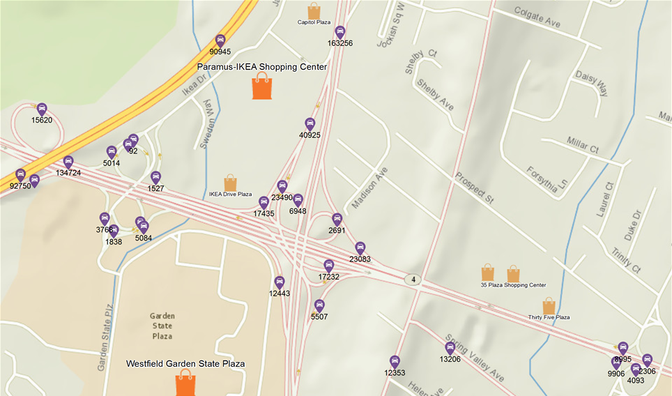
Identify expansion opportunities, target consumers with precision, analyze the competition and align services with the needs of the community. Create compelling maps that work with popular GIS software products. The street and boundary data comes from industry leading data partners and includes points of interest—retail locations, schools, waterways, parks and bus terminals—that can be added on thematic layers.
Join us for an upcoming webinar
Keep up to date on the latest trends that will affect your organization and discover the latest advancements in our services and product offerings. Register for upcoming webinars or access our past presentations.

Expert Insights ›
Our industry experts publish timely analysis of government data releases, opinions on industry trends and insights on how organizations are embracing big data and analytics to help you stay informed.

News ›
Catch up on the latest news from Environics Analytics.
Client Success Stories ›
Discover how we are helping organizations use data analytics for evidence-based decision making to improve marketing, guide their high-level strategic planning and drive operational improvements.